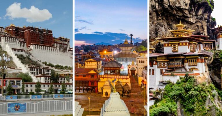
Mount Everest Geography: Mount Everest is the highest peak on It captivates the imagination of adventurers and enthusiasts worldwide. Its geography is as remarkable as it is inspiring, boasting a diverse range of features that contribute to its exceptional stature. In this comprehensive exploration, we explore into the intricacies of Mount Everest‘s geography, uncovering the geological, climatic, and ecological marvels that define this iconic landmark.
Table of Contents
Details on the Mount Everest Geography
Mount Everest Height
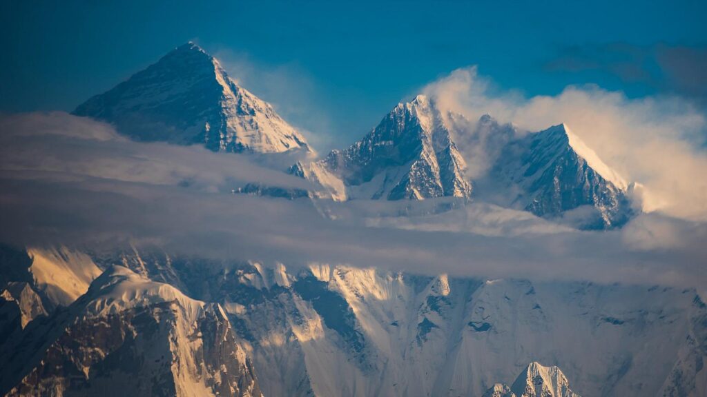
Mount Everest stands tall at an impressive height of 8,848.86 meters above sea level, making it the highest point on Earth’s surface. This measurement is the result of years of exploration and technological progress. Knowing Everest’s exact height is not just a number; it’s vital for scientific research and attracts adventurers from all over the world.
First Woman to Reach the Summit
On May 16, 1975, Junko Tabei was the first Japanese woman to climb Mount Everest and reach its summit. She achieved this great achievement becoming the first woman ever to stand on the top of the world’s highest mountain.
Our brave and adventurous woman, Junko Tabei, the first to scale the peak, showing women around the world that nothing is impossible for them. Her achievement shattered stereotypes about gender and defied conventions, making it easier for future generations of women climbers to do a similar thing. By these extraordinary acts, she demonstrated that gender was not an obstacle but indeed a reservoir of strength, indomitable spirit and endless possibilities.
Physical Features of Everest
Geology of the Mount Everest
The geology of Mount Everest, the tallest peak in the world, showcases the powerful forces and processes that have influenced our planet for millions of years. Located in the Himalayas, this grand mountain is mainly made up of metamorphic rocks like gneiss, schist, and marble, which were formed under extreme heat and pressure from tectonic movements. The geological past of the area also indicates the presence of ancient marine sediments, hinting that the Himalayas were once underwater in the ancient Tethys Ocean.
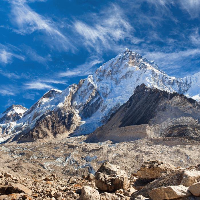
As time passed, the collision of the Indian and Eurasian tectonic plates pushed these sediments upwards, leading to the creation of the stunning peaks we admire today. Glacial activity has further shaped the land, resulting in sharp ridges, tall cliffs, and magnificent valleys. Mount Everest serves as a remarkable geological wonder, a symbol of the active forces that continue to transform our ever-evolving planet.
Relief and Topography
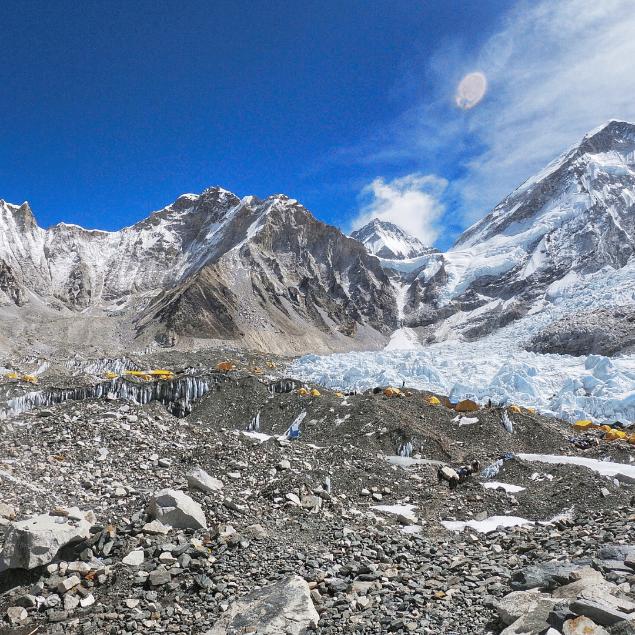
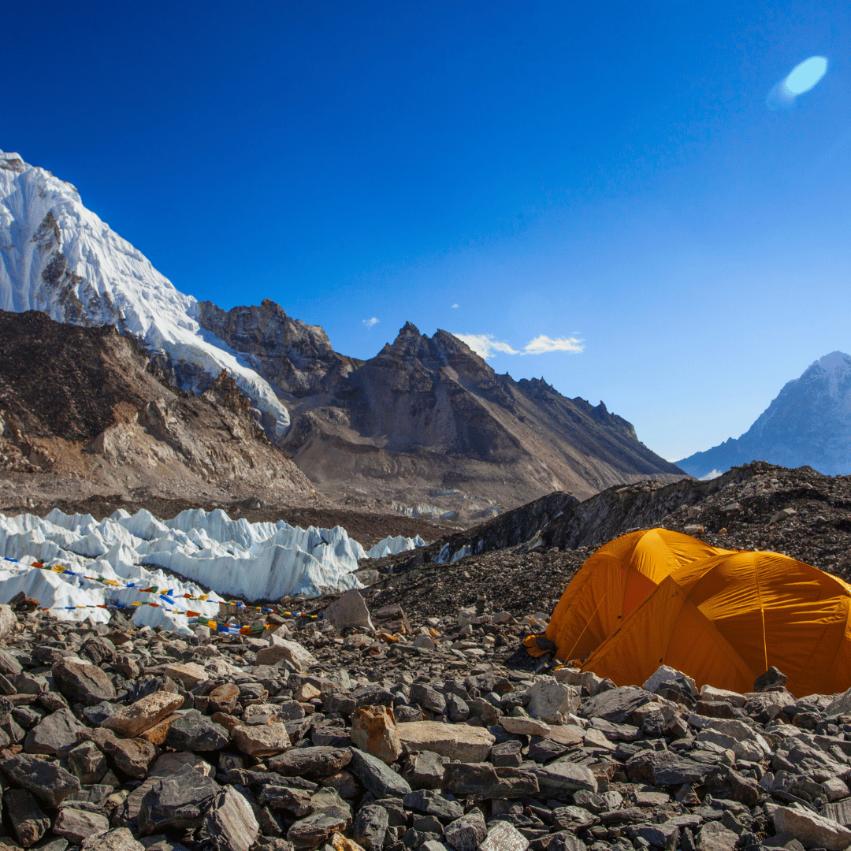
Mount Everest‘s physical features can be better understood by considering relief and topography. The mountain’s elevation, height above sea level, valleys, and glaciers in Nepal and Tibet all contribute to its unique characteristics. The surrounding drainage system, including the Khumbu Glacier, shapes its slopes and valleys over time. These geological features impact the climate on Mount Everest, affecting its snow and ice levels.
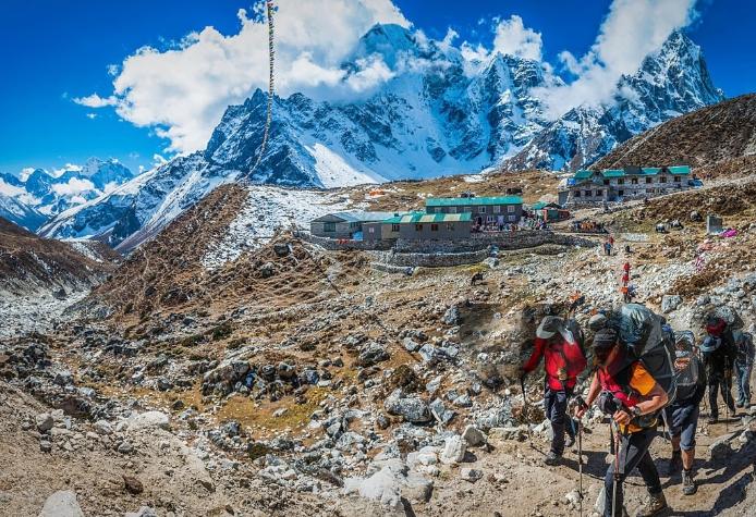
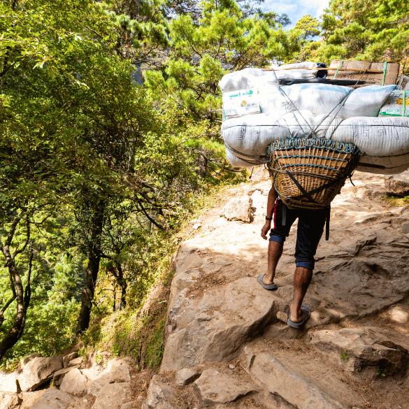
Its geographic location in the Great Himalayas also influences its relief and topography. Surveying expeditions and technology like GPS have accurately mapped Mount Everest’s highest point. Local Sherpas have been instrumental in supporting climbers and navigating the mountain’s terrain. In 1999, a Chinese expedition broke records on the southeast ridge, highlighting how geographic and tectonic actions influence the mountain’s features.
Climate on Everest
Habitation Zones on the Mountain
Habitation zones on Mount Everest have different conditions.
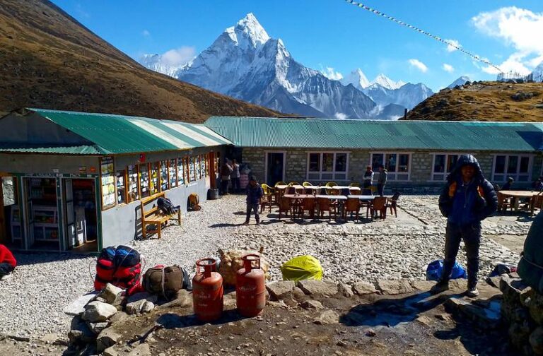
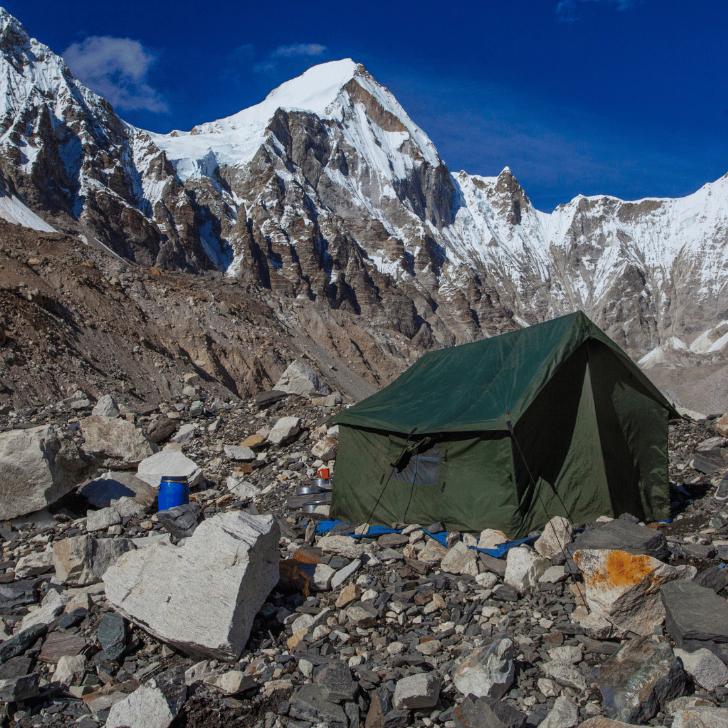
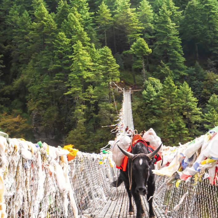
- Lower elevations, like Khumbu Valley, have villages with Sherpa people.
- Higher up, the Great Himalayas have rugged terrain and snow.
- Moving even further up, Southeast Ridge and South Col are dangerous with ice and harsh weather.
Factors like elevation, snow, and geography determine how suitable each zone is for climbers.
- The high altitude, icy slopes, and unpredictable weather in these zones can impact climbing.
- Mount Everest’s height and valleys create challenges, requiring careful planning and guidance from experienced Sherpas.
- Technology like GPS has improved surveying, helping climbers navigate safely.
Weather Patterns and Extremes
Weather conditions on Mount Everest greatly impact climbing. The mountain, situated in Nepal and China, faces harsh weather due to its high elevation. Climbers encounter extreme cold, strong winds, and heavy snow while going up the Himalayas.
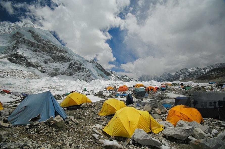
The area around Everest is notorious for its unpredictable weather, posing challenges for both climbers and Sherpas. Over time, surveys have shown a continued interest in measuring the peak’s height. Extreme weather events like avalanches, storms, and blizzards are common in the valleys nearby.
Technological advancements like GPS and laser tools play a significant role in mapping Everest’s terrain in the Everest region. Organizations like the National Geographic Society use cartography and surveying to study the mountain’s geography, ensuring safety for climbers and locals.
Everest Height Comparison
Human Factors affecting Ascents
Psychological factors affect climbers on Everest. The extreme heights and harsh conditions challenge even experienced mountaineers. Individual physical capabilities also determine expedition success. Group dynamics are important too for safety and success. Effective teamwork and communication are essential. Understanding these human factors is crucial for navigating the Himalayas.
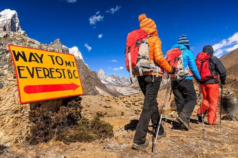
Local Sherpas and Tibetan guides provide valuable expertise. In the end, psychological, physical, and group factors determine expedition outcomes in the great Himalayas.
Environmental Issues related to Climbing
Environmental issues related to climbing on Mount Everest stem from the increasing human activity in the Himalayas. The rise in expeditions and climbers attempting to reach the summit has led to challenges like waste accumulation, trampled vegetation, and disturbance of local wildlife, including the Sherpa people.
To address these issues, climbers and mountaineering organizations implement strict waste management procedures. These include carrying out all trash and human waste and supporting local conservation projects.
The long-term impact of high foot traffic and waste can disrupt the region’s balance, affecting the natural landscape and the livelihoods of local communities relying on the mountain for resources.
By focusing on environmental stewardship and sustainable practices, climbers can help safeguard the diverse ecosystems around Mount Everest for generations to come.
Snowdrift Formation on Everest
Impact on Climbing Grades
Snowdrift formation on Mount Everest can impact climbing grades. The accumulation of snow creates unstable conditions, making it difficult for climbers. Factors such as elevation and the great Himalayan geography play a role in snowdrift formation.
In 1999, a survey used advanced technology to map the terrain and study the impact of snow. Sherpas, experienced in navigating the landscape, are essential for successful expeditions on Everest.
Understanding snowdrifts, ice formations, and tectonic action is vital for climbers. By considering these factors, climbers can prepare better for the mountain’s changing conditions.
Subjects for Everest Climbers
Everest climbers need to study various subjects before climbing. This includes understanding the Mount Everest Geography, like its height and terrain. Knowledge of the mountain’s terrain, such as the southeast ridge or west ridge, is vital for a successful climb.
Climbers should also know about the impact of tectonic action on the Himalayas and the formation of valleys like the Khumbu Valley. Understanding weather patterns, like snow and ice conditions, is crucial for climbers’ safety.
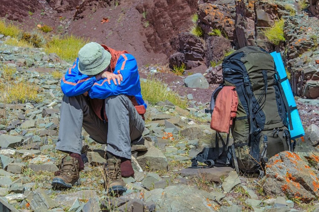
Knowing the geology of the mountain and the Khumbu Glacier i.e Mount Everest Geography, is essential for navigation. It’s also important to be aware of local peoples, such as the Sherpas in Nepal and Tibetan communities in China, for cultural sensitivity.
User Permissions for Everest Access
Mount Everest, the highest point on Earth and has a complex system of regulations for user permissions.
- Climbers need permits from the Nepalese government or Chinese authorities for different routes.
- These permits control the number of expeditions, protecting the mountain’s ecology and climbers’ safety.
- Sherpas, knowledgeable about the Himalayas, assist climbers in navigating the terrain.
- Advanced technology like GPS is used for accurate mapping and monitoring.
- Monitoring Everest access is crucial for sustainability and climbers’ safety.
Conclusion
Mount Everest is the highest mountain globally. Located on the border between Nepal and China in the Himalayas, it attracts climbers worldwide. Many adventurers and scientists are fascinated by its extreme height and consider conquering its towering peak to be a significant challenge.
You may also like
Send an Enquiry
Error: Contact form not found.
© 2024 - Himalayan Trekking and Tours (P) Ltd. All Rights Reserved.


